NEWS
In this section you will find all the news related to the Territorial Information System of the Principality of Asturias and its Spatial Data Infrastructure.
UPDATE – Buildings and Transportation Network
26/08/2024
Updated the "Buildings" and "Transportation network" of the Topographic Map of the Principality of Asturias at a scale of 1:5.000
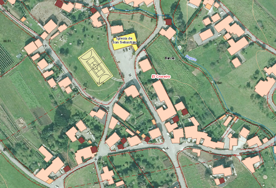
Recently, the Cartography Service has completed the project to update the buildings and transport infrastructure corresponding to the Topographic Base of Asturias at a scale of 1:5.000, now available for viewing and free download through the SITPA-IDEAS geoportal.
Based on the most recent information from the National Aerial Orthophotography Plan, around 350.000 constructions of various types distributed throughout the Asturian territory, 21.120 km of paths, 17.305 km of roads and 14.841 km of roads, restored in accordance with the new data model of the Harmonized Topographic Base v1.0, which has made it possible to add new attributes to the elements, greater geometric precision (with an accuracy of 1 m for the planimetry and 1.5 m in altimetry in 90% of cases) and greater topological control.
The project has involved an investment of €171.874,45€ and has been developed by SERESCO, S.A., under the technical direction of the Geodesy and Cartography engineer Henar Zapico Arranz, from the Cartography Service. With this new cartographic product, the Department of Territorial Planning, Urban Planning, Housing and Citizen Rights makes available to Public Administrations, companies and citizens of Asturias essential geospatial information for the development of all kinds of projects, analysis and studies of the most varied themes.